Week of Sept. 29
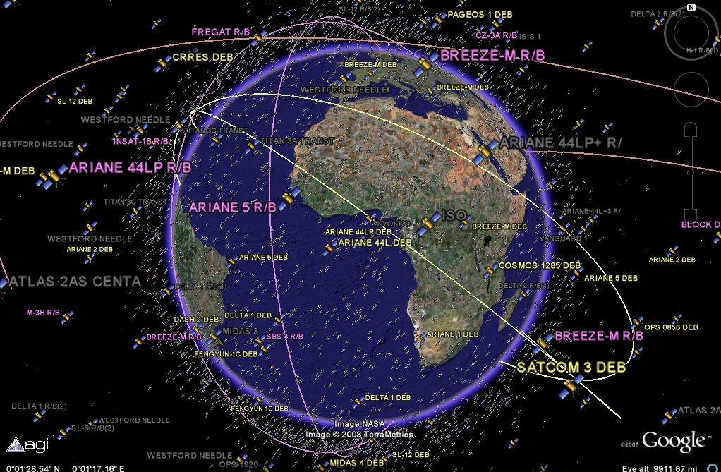 |
| Image showing approximate number of satellites and space junk orbiting around the Earth.
Questions to consider:
1. What are at least 3 examples of information that can be gathered from remote-sensing images?
2. What is GPS and how does it work?
3. What is GIS used for?
4. How can remote-sensing images show how land features change over time?
5. Can you identify some basic landforms shown in satellite images?
Changing Erosional Landforms in Satellite Images 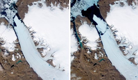
Petermann Glacier in Northern Greenland - compare and contrast the before and after images of the glacier.
California 2013-2014 - compare and contrast the before and after images of California.
Identifying Landforms  |


Volcano - Mt. Fuji in Japan
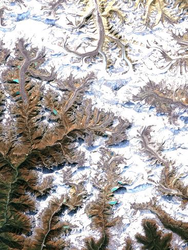
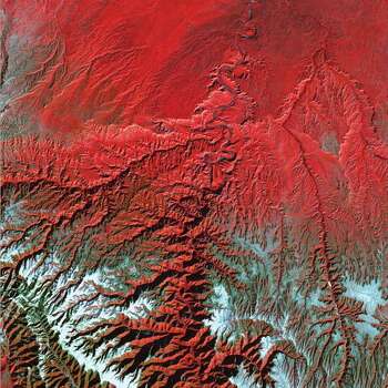
The Himalayan Mountain Range

Alluvial Fan in China
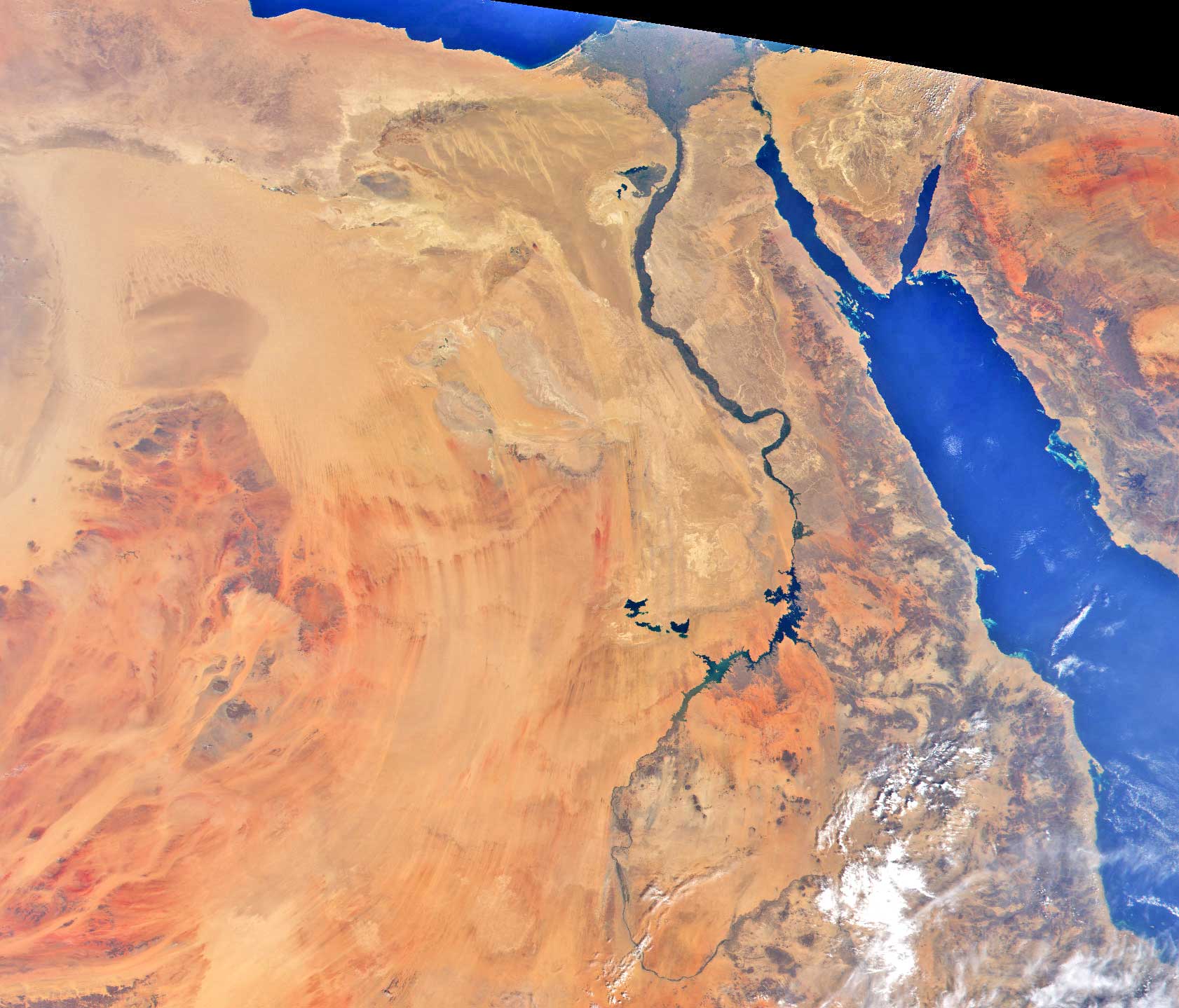
The Nile River

The Great Lakes
 \
\
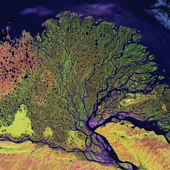
Wetland in Russia
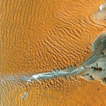
The Great Sahara Desert! Some of those sand dunes are over 300 feet tall!
Green River and Desolation Canyon, Utah
No comments:
Post a Comment